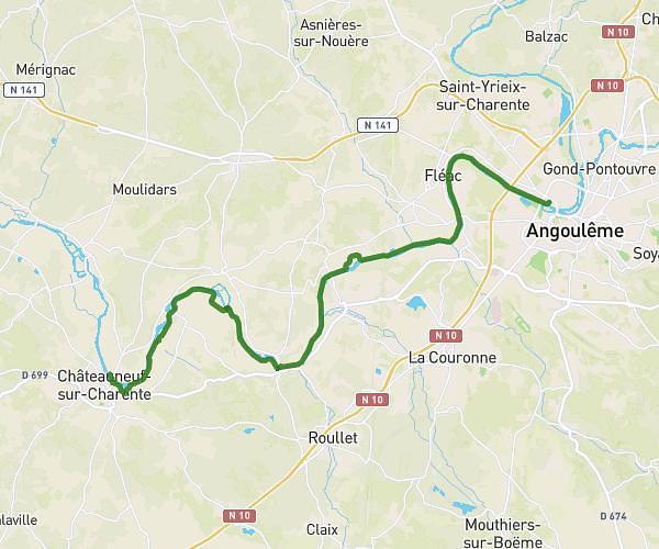
This hiking trail covers 15.714mi starting from Luxé, Charente. The hike does not return to the trailhead and ends near 17 Rue Principale, 16330 Montignac-Charente, France. This hike is rated as moderate, plan for about 6h19m to complete it. The route has an elevation gain of 364ft and an elevation loss of 371ft.
luxe chebrac25km
Route details
2.49mph
Speed
2675 kcal
Calories burned
0.9%
Avg grade
Point to point
Route type
141ft
Min altitude
220ft
Max altitude
Route profile
364ft
Elevation gain
371ft
Elevation loss
141ft
Min altitude
220ft
Max altitude
How to get there
Trailhead: 1 Chemin De La Vergnée, 16230 Luxé, France
GPS coordinates of the trailhead: 45.88826, 0.10781 / 45°53'17'' N, 0°6'28'' E