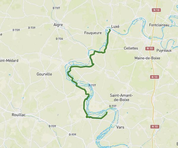
This hiking trail covers 16.817mi starting from Angoulême, Charente. The hike does not return to the trailhead and ends near Chemin De La Grande Prairie, 16120 Châteauneuf-sur-Charente. This hike is rated as moderate, plan for about 6h45m to complete it. The route has an elevation gain of 148ft and an elevation loss of 200ft.
stcybard chateauneuf 27km
Route details
2.49mph
Speed
2850 kcal
Calories burned
0.4%
Avg grade
Point to point
Route type
56ft
Min altitude
115ft
Max altitude
Route profile
148ft
Elevation gain
200ft
Elevation loss
56ft
Min altitude
115ft
Max altitude
How to get there
Trailhead: Rue Des Joyeux, 16000 Angoulême
GPS coordinates of the trailhead: 45.65728, 0.14467 / 45°39'26'' N, 0°8'40'' E