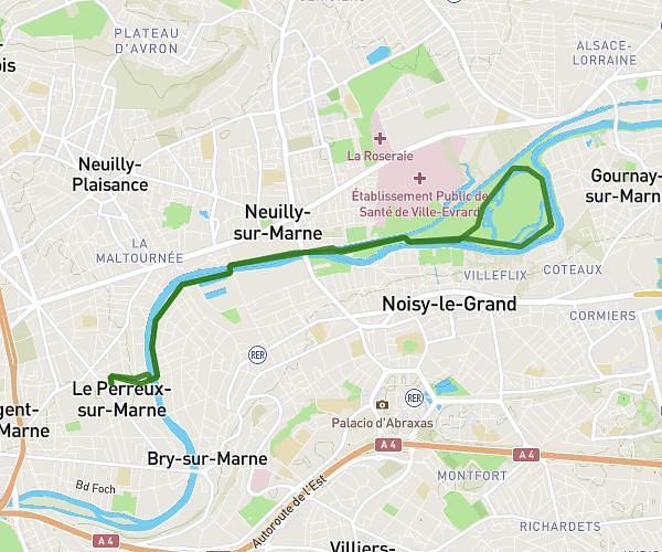
This running route covers 3.848mi starting from Brie-Comte-Robert, Seine-et-Marne. The run is a loop trail and returns to the trailhead. This run is rated as easy, expect about 37m to complete it. The route has an elevation gain of 141ft and an elevation loss of 141ft.
Brie 2
Route details
6.24mph
Speed
423 kcal
Calories burned
Loop trail
Route type
256ft
Min altitude
328ft
Max altitude
Route profile
141ft
Elevation gain
141ft
Elevation loss
256ft
Min altitude
328ft
Max altitude
How to get there
Trailhead: Rue Des Maraichers, 77170 Brie-Comte-Robert
GPS coordinates of the trailhead: 48.68691, 2.61609 / 48°41'12'' N, 2°36'57'' E