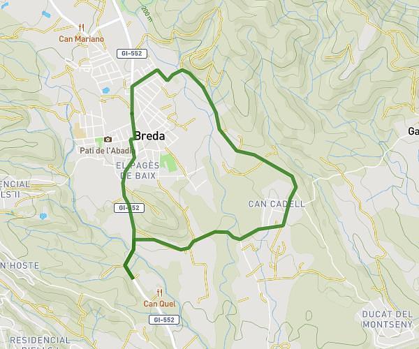
This running route covers 3.107mi starting from Cardedeu, Barcelona. The run is a loop trail and returns to the trailhead. This run is rated as easy, expect about 30m to complete it. The route has an elevation gain of 105ft and an elevation loss of 92ft.
Chill 5k
Route details
6.21mph
Speed
343 kcal
Calories burned
Loop trail
Route type
689ft
Min altitude
794ft
Max altitude
Route profile
105ft
Elevation gain
92ft
Elevation loss
689ft
Min altitude
794ft
Max altitude
How to get there
Trailhead: Carrer De Santa Fe 12, 08440 Cardedeu, Barcelona, Spain
GPS coordinates of the trailhead: 41.64416, 2.3603 / 41°38'38'' N, 2°21'37'' E