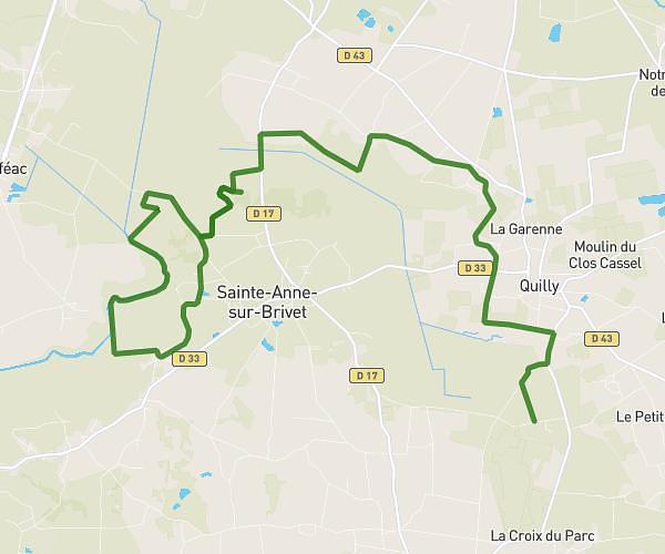
This running route covers 6.995mi starting from Vigneux-de-Bretagne, Loire-Atlantique. The run is a loop trail and returns to the trailhead. This run is rated as moderate, expect about 6m5s to complete it. The route has an elevation gain of 610ft and an elevation loss of 607ft.
10km pour juju
Route details
68.99mph
Speed
70 kcal
Calories burned
Loop trail
Route type
138ft
Min altitude
266ft
Max altitude
Route profile
610ft
Elevation gain
607ft
Elevation loss
138ft
Min altitude
266ft
Max altitude
How to get there
Trailhead: 3 Rue Des Primevères, 44360 Vigneux-de-Bretagne, France
GPS coordinates of the trailhead: 47.326892, -1.740995 / 47°19'36'' N, 1°44'27'' W