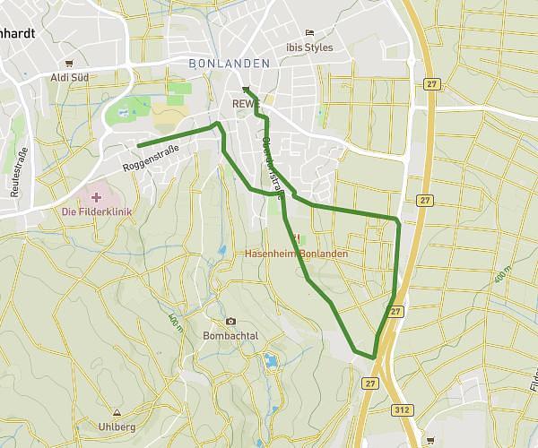
This running route covers 4.213mi starting from Stuttgart, Baden-Württemberg. The run is a loop trail and returns to the trailhead. This run is rated as easy, expect about 45m to complete it. The route has an elevation gain of 502ft and an elevation loss of 502ft.
5,7km daytime
Route details
5.62mph
Speed
515 kcal
Calories burned
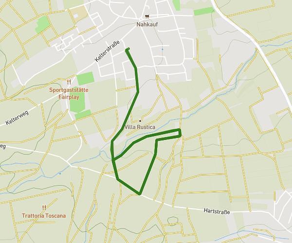
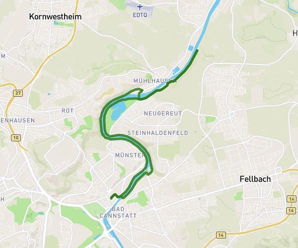
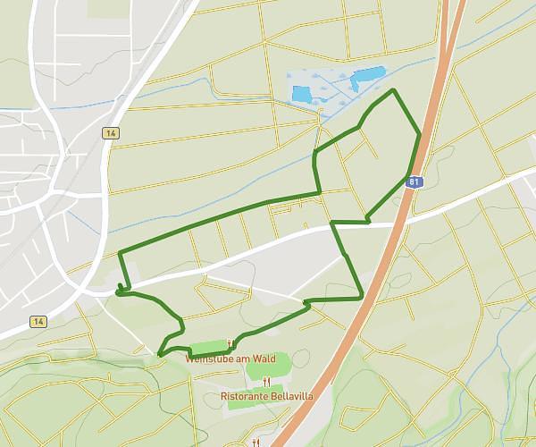
Loop trail
Route type
974ft
Min altitude
1243ft
Max altitude
Route profile
502ft
Elevation gain
502ft
Elevation loss
974ft
Min altitude
1243ft
Max altitude
How to get there
Trailhead: Mittlerer Pfad 27, 70499 Stuttgart, Germany
GPS coordinates of the trailhead: 48.821569, 9.094232 / 48°49'17'' N, 9°5'39'' E