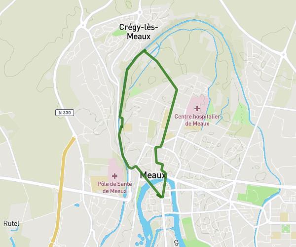
This running route covers 4.995mi starting from Magny-le-Hongre, Seine-et-Marne. The run does not return to the trailhead and ends near Rue Du Pré De Bray, 77700 Magny-le-Hongre, France. This run is rated as moderate, expect about 48m to complete it. The route has an elevation gain of 217ft and an elevation loss of 226ft.
Prépa
Route details
6.24mph
Speed
549 kcal
Calories burned
Point to point
Route type
338ft
Min altitude
433ft
Max altitude
Route profile
217ft
Elevation gain
226ft
Elevation loss
338ft
Min altitude
433ft
Max altitude
How to get there
Trailhead: 5 Rue Des Courlis, 77700 Magny-le-Hongre, France
GPS coordinates of the trailhead: 48.85966, 2.81297 / 48°51'34'' N, 2°48'46'' E