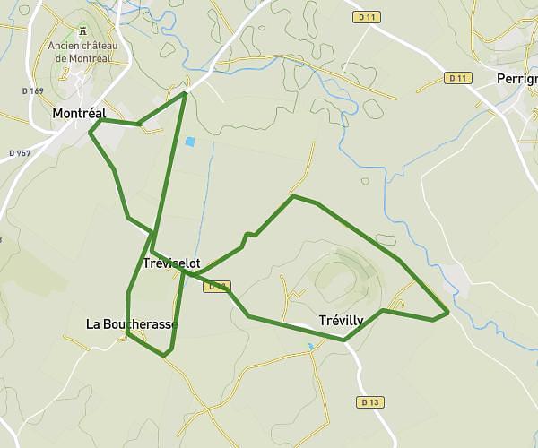
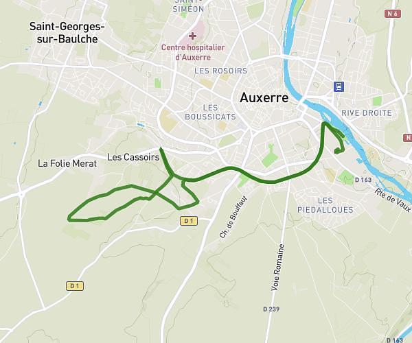
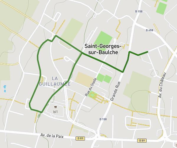
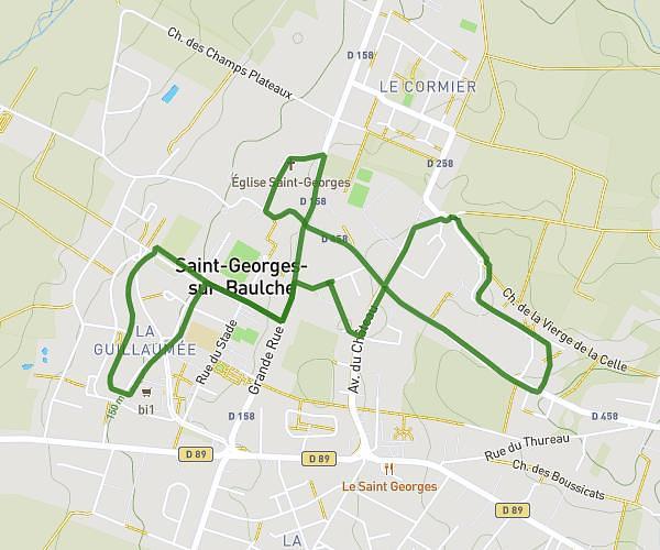
This running route covers 11.983mi starting from Arcy-sur-Cure, Yonne. The run is a loop trail and returns to the trailhead. This run is rated as strenuous, expect about 3h56m to complete it. The route has an elevation gain of 1283ft and an elevation loss of 1273ft.
Arcy 3
Route details
3.04mph
Speed
2700 kcal
Calories burned
Loop trail
Route type
381ft
Min altitude
787ft
Max altitude
Route profile
1283ft
Elevation gain
1273ft
Elevation loss
381ft
Min altitude
787ft
Max altitude
How to get there
Trailhead: Rue De L'église, 89270 Arcy-sur-Cure
GPS coordinates of the trailhead: 47.60217, 3.75555 / 47°36'7'' N, 3°45'19'' E