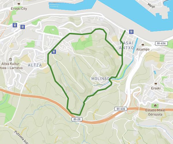
This walking route covers 0.384mi starting from Saint-Jean-de-Luz, Pyrénées-Atlantiques. The walk is a loop trail and returns to the trailhead. This walk is rated as easy, plan for about 1m51s to complete it. The route has an elevation gain of 3ft and an elevation loss of 3ft.
Natation
Route details
4:50/mi
Pace
8 kcal
Calories burned
Loop trail
Route type
0ft
Min altitude
3ft
Max altitude
Route profile
3ft
Elevation gain
3ft
Elevation loss
0ft
Min altitude
3ft
Max altitude
How to get there
Trailhead: 48 Promenade Jacques Thibaud, 64500 Saint-Jean-de-Luz, France
GPS coordinates of the trailhead: 43.39007, -1.66351 / 43°23'24'' N, 1°39'48'' W