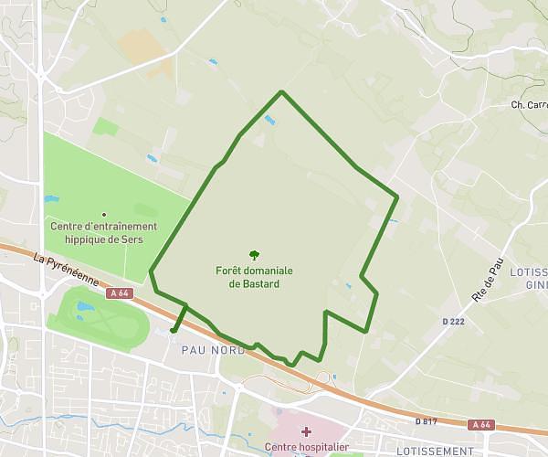
This running route covers 4.851mi starting from Pau, Pyrénées-Atlantiques. The run is a loop trail and returns to the trailhead. This run is rated as easy, expect about 42m to complete it. The route has an elevation gain of 108ft and an elevation loss of 125ft.
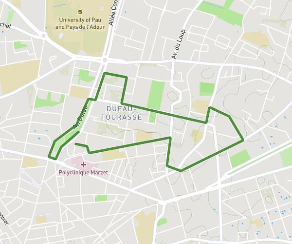
TISSIE_PARC CHATEAU_HEDAS
Route details
6.93mph
Speed
480 kcal
Calories burned
Loop trail
Route type
614ft
Min altitude
738ft
Max altitude
Route profile
108ft
Elevation gain
125ft
Elevation loss
614ft
Min altitude
738ft
Max altitude
How to get there
Trailhead: 4 Rue De L'enfant Jésus, 64000 Pau, France
GPS coordinates of the trailhead: 43.30106, -0.362336 / 43°18'3'' N, 0°21'44'' W