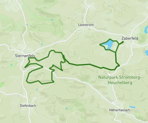
This running route covers 10.351mi starting from Pforzheim, Baden-Württemberg. The run is a loop trail and returns to the trailhead. This run is rated as hard, expect about 2h21m to complete it. The route has an elevation gain of 1850ft and an elevation loss of 1860ft.
16km run
Route details
4.39mph
Speed
1619 kcal
Calories burned
Loop trail
Route type
912ft
Min altitude
1565ft
Max altitude
Route profile
1850ft
Elevation gain
1860ft
Elevation loss
912ft
Min altitude
1565ft
Max altitude
How to get there
Trailhead: Hanfackersteige, 75173 Pforzheim, Germany
GPS coordinates of the trailhead: 48.87533, 8.663185 / 48°52'31'' N, 8°39'47'' E