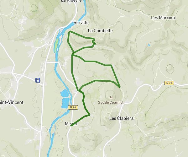
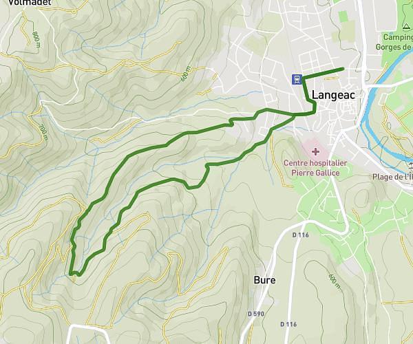
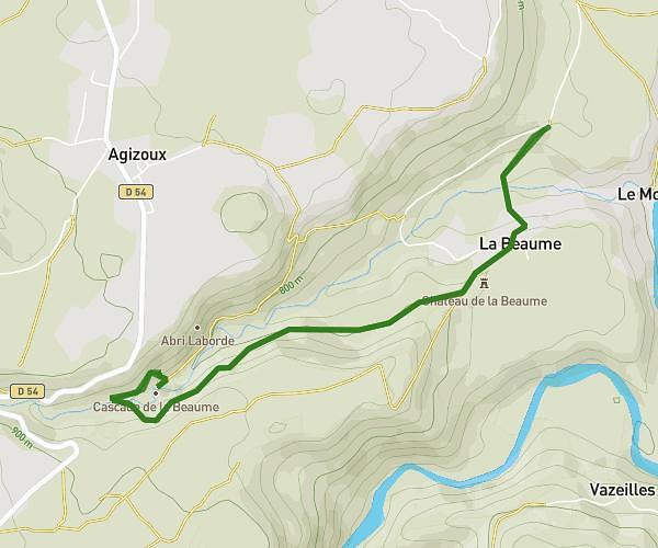
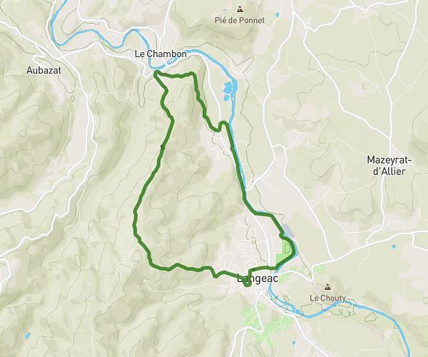
This hiking trail covers 17.889mi starting from Bains, Haute-Loire. The hike is a loop trail and returns to the trailhead. This hike is rated as strenuous, plan for about 3h24m to complete it. The route has an elevation gain of 3383ft and an elevation loss of 3386ft.
La marche de saint jean
Route details
5.26mph
Speed
1513 kcal
Calories burned
7.2%
Avg grade
Loop trail
Route type
2103ft
Min altitude
4646ft
Max altitude
Route profile
3383ft
Elevation gain
3386ft
Elevation loss
2103ft
Min altitude
4646ft
Max altitude
How to get there
Trailhead: Chemin De Mont Marché, 43370 Bains
GPS coordinates of the trailhead: 44.98863, 3.74671 / 44°59'19'' N, 3°44'48'' E