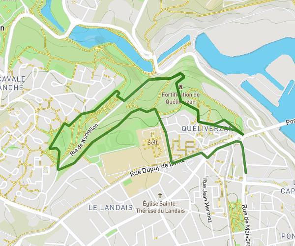
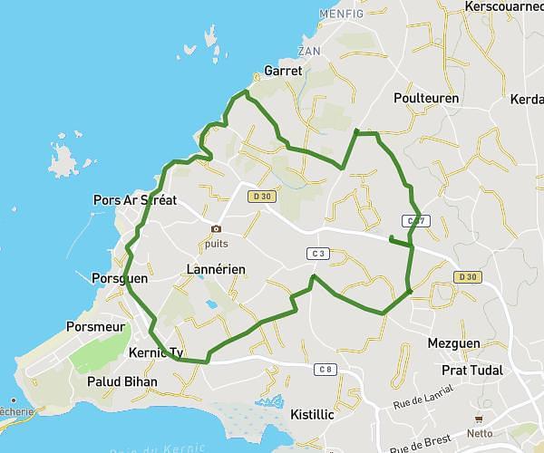
This running route covers 5.482mi starting from Saint-Thonan, Finistère. The run is a loop trail and returns to the trailhead. This run is rated as moderate, expect about 46m to complete it. The route has an elevation gain of 407ft and an elevation loss of 407ft.
Pen B reprise 01 avril
Route details
7.15mph
Speed
526 kcal
Calories burned
Loop trail
Route type
223ft
Min altitude
394ft
Max altitude
Route profile
407ft
Elevation gain
407ft
Elevation loss
223ft
Min altitude
394ft
Max altitude
How to get there
Trailhead: 76 Pen Bouillen, 29800 Saint-Thonan, France
GPS coordinates of the trailhead: 48.462538, -4.294632 / 48°27'45'' N, 4°17'40'' W