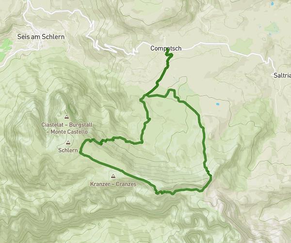
This running route covers 6.315mi starting from Bolzano, South Tyrol. The run is a loop trail and returns to the trailhead. This run is rated as moderate, expect about 1h1m to complete it. The route has an elevation gain of 79ft and an elevation loss of 89ft.
10km-1
Route details
6.21mph
Speed
697 kcal
Calories burned
Loop trail
Route type
833ft
Min altitude
909ft
Max altitude
Route profile
79ft
Elevation gain
89ft
Elevation loss
833ft
Min altitude
909ft
Max altitude
How to get there
Trailhead: Via Del Macello - Schlachthofstraße 36, 39100 Bolzano South Tyrol, Italy
GPS coordinates of the trailhead: 46.49422, 11.36011 / 46°29'39'' N, 11°21'36'' E