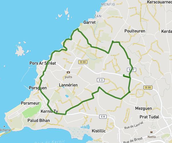
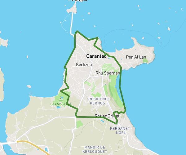
This running route covers 3.192mi starting from Carantec, Finistère. The run is a loop trail and returns to the trailhead. This run is rated as easy, expect about 34m to complete it. The route has an elevation gain of 407ft and an elevation loss of 410ft.
Run 2
Route details
5.64mph
Speed
389 kcal
Calories burned
Loop trail
Route type
13ft
Min altitude
174ft
Max altitude
Route profile
407ft
Elevation gain
410ft
Elevation loss
13ft
Min altitude
174ft
Max altitude
How to get there
Trailhead: 13 Rue Des Trois Frères Tanguy, 29660 Carantec, France
GPS coordinates of the trailhead: 48.66264, -3.91419 / 48°39'45'' N, 3°54'51'' W