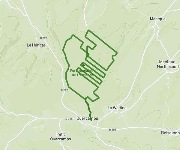
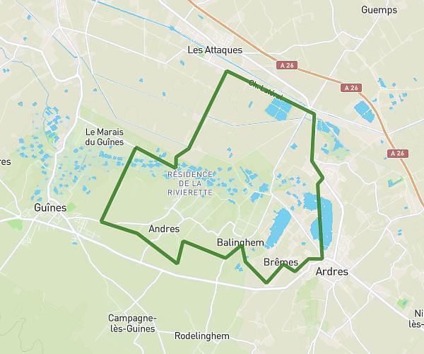
This running route covers 13.611mi starting from Brêmes, Pas-de-Calais. The run does not return to the trailhead and ends near 32 Rue Du Rivage, 62610 Ardres, France. This run is rated as strenuous, expect about 2h11m to complete it. The route has an elevation gain of 469ft and an elevation loss of 472ft.
Semi
Route details
6.23mph
Speed
1498 kcal
Calories burned
Point to point
Route type
-7ft
Min altitude
249ft
Max altitude
Route profile
469ft
Elevation gain
472ft
Elevation loss
-7ft
Min altitude
249ft
Max altitude
How to get there
Trailhead: 63 Impasse Des Lilas, 62610 Brêmes, France
GPS coordinates of the trailhead: 50.85626, 1.97006 / 50°51'22'' N, 1°58'12'' E