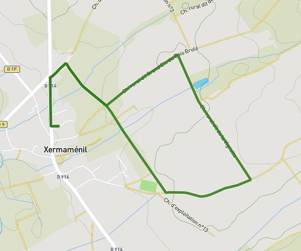
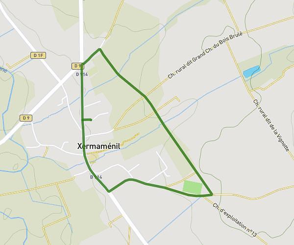
This running route covers 12.75mi starting from Saint-Max, Meurthe-et-Moselle. The run does not return to the trailhead and ends near Chemin De La Jeune Rose, 54690 Lay-Saint-Christophe, France. This run is rated as strenuous, expect about 2h3m to complete it. The route has an elevation gain of 322ft and an elevation loss of 413ft.
4h30
Route details
6.21mph
Speed
1407 kcal
Calories burned
Point to point
Route type
571ft
Min altitude
984ft
Max altitude
Route profile
322ft
Elevation gain
413ft
Elevation loss
571ft
Min altitude
984ft
Max altitude
How to get there
Trailhead: 121 Avenue Du Général Leclerc, 54130 Saint-Max, France
GPS coordinates of the trailhead: 48.7112, 6.20452 / 48°42'40'' N, 6°12'16'' E