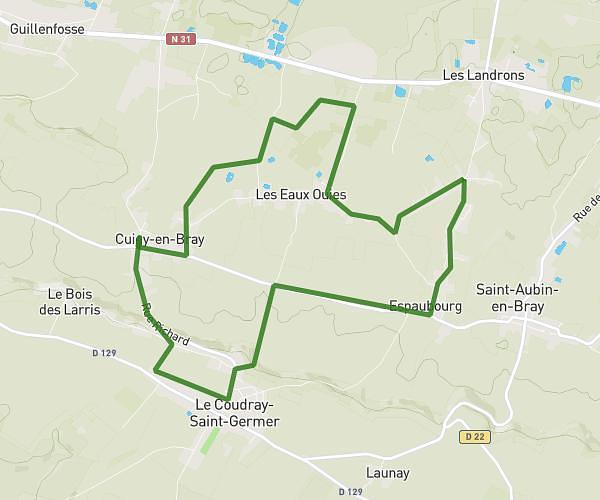
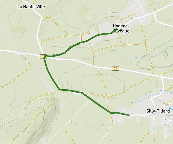
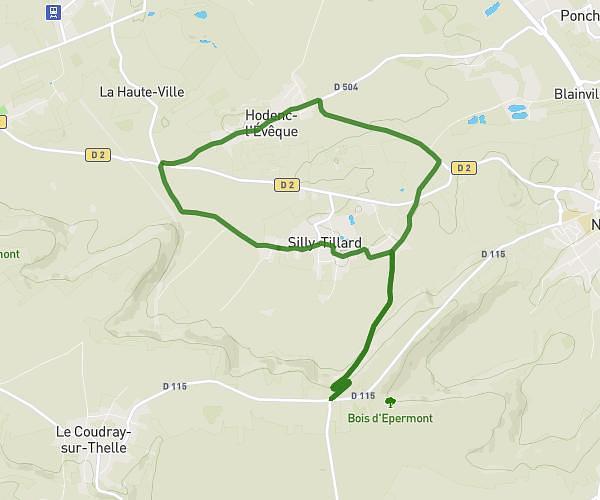
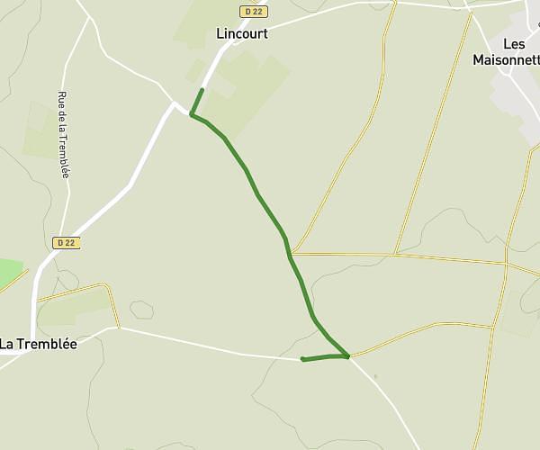
This running route covers 11.373mi starting from Lachapelle-aux-Pots, Oise. The run is a loop trail and returns to the trailhead. This run is rated as strenuous, expect about 2h2m to complete it. The route has an elevation gain of 748ft and an elevation loss of 741ft.
18km
Route details
5.59mph
Speed
1395 kcal
Calories burned
Loop trail
Route type
266ft
Min altitude
472ft
Max altitude
Route profile
748ft
Elevation gain
741ft
Elevation loss
266ft
Min altitude
472ft
Max altitude
How to get there
Trailhead: 45 Avenue Tristan Klingsor, 60650 Lachapelle-aux-Pots, France
GPS coordinates of the trailhead: 49.443954, 1.900736 / 49°26'38'' N, 1°54'2'' E