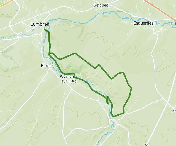
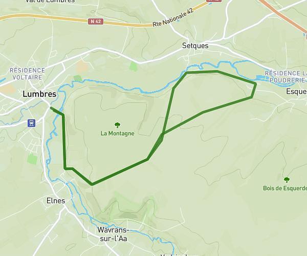
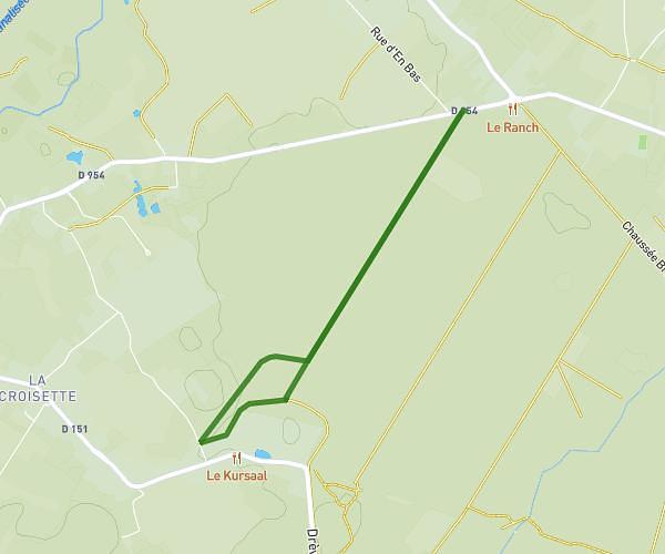
This walking route covers 2.286mi starting from Volckerinckhove, Nord. The walk is a loop trail and returns to the trailhead. This walk is rated as easy, plan for about 1h30m to complete it. The route has an elevation gain of 171ft and an elevation loss of 171ft.
Tour à pied avec Chien
Route details
39:25/mi
Pace
368 kcal
Calories burned
Loop trail
Route type
62ft
Min altitude
167ft
Max altitude
Route profile
171ft
Elevation gain
171ft
Elevation loss
62ft
Min altitude
167ft
Max altitude
How to get there
Trailhead: 68 Route De Bollezeele, 59470 Volckerinckhove, France
GPS coordinates of the trailhead: 50.84078, 2.29703 / 50°50'26'' N, 2°17'49'' E