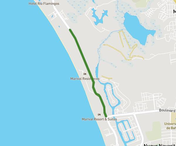
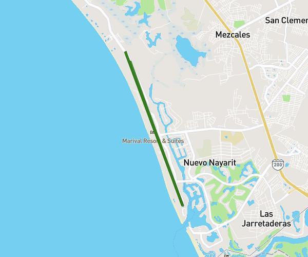
This running route covers 7.771mi starting from Bahía de Banderas, Nayarit. The run does not return to the trailhead and ends near Avenida Paseo De Los Cocoteros 87, 63735 Bahía de Banderas, Nayarit, Mexico. This run is rated as hard, expect about 1h23m to complete it. The route has an elevation gain of 344ft and an elevation loss of 358ft.
12km
Route details
5.59mph
Speed
953 kcal
Calories burned
Point to point
Route type
7ft
Min altitude
43ft
Max altitude
Route profile
344ft
Elevation gain
358ft
Elevation loss
7ft
Min altitude
43ft
Max altitude
How to get there
Trailhead: Boulevard Nuevo Vallarta, 63735 Bahía de Banderas, Nayarit, Mexico
GPS coordinates of the trailhead: 20.711123, -105.27592 / 20°42'40'' N, 105°16'33'' W