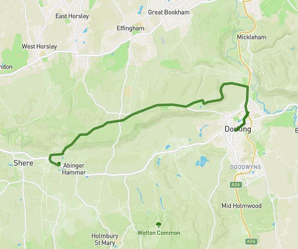
This hiking trail covers 13.747mi starting from Woking, England. The hike does not return to the trailhead and ends near Station View, Guildford, GU1 4UL, United Kingdom. This hike is rated as moderate, plan for about 4h34m to complete it. The route has an elevation gain of 623ft and an elevation loss of 633ft.
woking to Guildford via Shah Jahan Mosque and McLaren Park
Route details
3.0mph
Speed
1950 kcal
Calories burned
1.7%
Avg grade
Point to point
Route type
69ft
Min altitude
148ft
Max altitude
Route profile
623ft
Elevation gain
633ft
Elevation loss
69ft
Min altitude
148ft
Max altitude
How to get there
Trailhead: Station Approach, Woking, GU22 7PQ, United Kingdom
GPS coordinates of the trailhead: 51.31813, -0.55658 / 51°19'5'' N, 0°33'23'' W