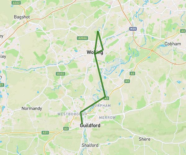
This hiking trail covers 9.242mi starting from Guildford, England. The hike does not return to the trailhead and ends near 3 Brook Close, Dorking, RH4 1AH, United Kingdom. This hike is rated as moderate, plan for about 3h41m to complete it. The route has an elevation gain of 886ft and an elevation loss of 958ft.
Gomshall to Dorking
Route details
2.5mph
Speed
1601 kcal
Calories burned
3.8%
Avg grade
Point to point
Route type
177ft
Min altitude
745ft
Max altitude
Route profile
886ft
Elevation gain
958ft
Elevation loss
177ft
Min altitude
745ft
Max altitude
How to get there
Trailhead: Station Approach, Gomshall, Guildford, GU5 9NY, United Kingdom
GPS coordinates of the trailhead: 51.219026, -0.442825 / 51°13'8'' N, 0°26'34'' W