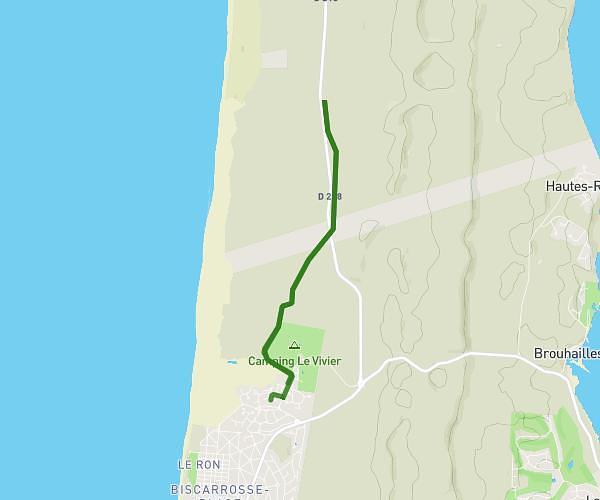
This running route covers 3.789mi starting from La Teste-de-Buch, Gironde. The run does not return to the trailhead and ends near 48 Cours Héricart De Thury, 33120 Arcachon, France. This run is rated as easy, expect about 36m34s to complete it. The route has an elevation gain of 102ft and an elevation loss of 85ft.
Retour cab
Route details
6.21mph
Speed
418 kcal
Calories burned
Point to point
Route type
-3ft
Min altitude
33ft
Max altitude
Route profile
102ft
Elevation gain
85ft
Elevation loss
-3ft
Min altitude
33ft
Max altitude
How to get there
Trailhead: 41 Rue Du Président Carnot, 33260 La Teste-de-Buch, France
GPS coordinates of the trailhead: 44.62968, -1.14353 / 44°37'46'' N, 1°8'36'' W