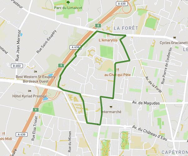
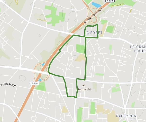
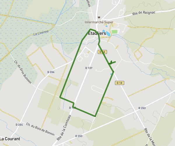
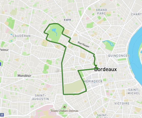
This running route covers 9.427mi starting from Saint-André-de-Cubzac, Gironde. The run does not return to the trailhead and ends near 237 Rue Olympe De Gouges, 33240 Saint-André-de-Cubzac, France. This run is rated as hard, expect about 2h31m to complete it. The route has an elevation gain of 85ft and an elevation loss of 66ft.
Jérémy THEVENET-Boucle Lalande 15 km
Route details
3.73mph
Speed
1734 kcal
Calories burned
Point to point
Route type
49ft
Min altitude
115ft
Max altitude
Route profile
85ft
Elevation gain
66ft
Elevation loss
49ft
Min altitude
115ft
Max altitude
How to get there
Trailhead: 200 Chemin De Rastouillet, 33240 Saint-André-de-Cubzac, France
GPS coordinates of the trailhead: 44.996271, -0.403567 / 44°59'46'' N, 0°24'12'' W