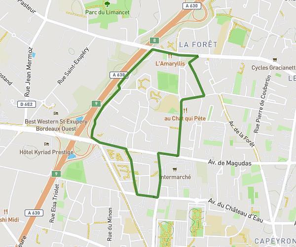
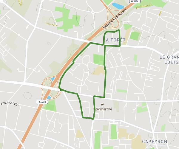
This running route covers 5.443mi starting from Bordeaux, Gironde. The run is a loop trail and returns to the trailhead. This run is rated as moderate, expect about 30m to complete it. The route has an elevation gain of 43ft and an elevation loss of 33ft.
Tour du parc Bordelais
Route details
10.89mph
Speed
343 kcal
Calories burned
Loop trail
Route type
39ft
Min altitude
72ft
Max altitude
Route profile
43ft
Elevation gain
33ft
Elevation loss
39ft
Min altitude
72ft
Max altitude
How to get there
Trailhead: 114 Rue Turenne, 33000 Bordeaux, France
GPS coordinates of the trailhead: 44.8467, -0.5871 / 44°50'48'' N, 0°35'13'' W