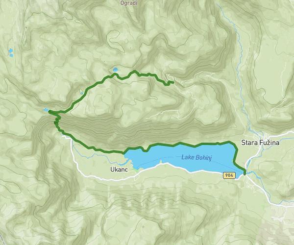
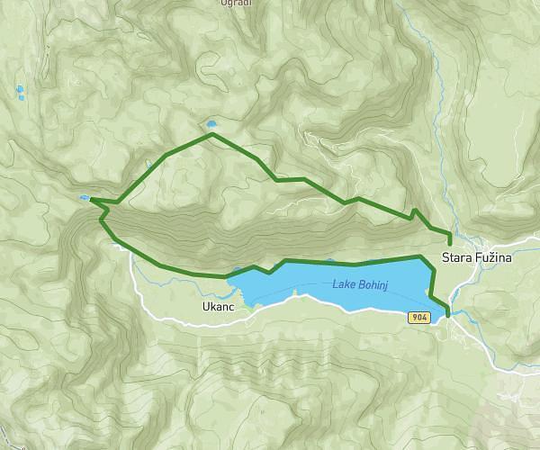
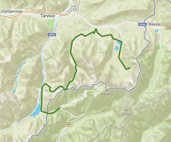
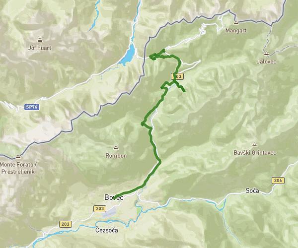
Explore this hiking route of 17,301mi starting from . The hike does not return to the starting point and ends near Via Dei Laghi 8, 33018 Tarvisio Udine, Italy. This hike has no defined difficulty level, plan for about 5h34m to complete it. The route has a positive elevation gain of 5997ft and a negative elevation loss of 5052ft.
LOG POD MANGARTOM-BELOPEŠKA JEZERA
Route details
Route profile
5997ft
Elevation +
5052ft
Elevation -
2060ft
Min altitude
5810ft
Max altitude
How to get there
Route starting point:
GPS coordinates of the starting point: 46.40488, 13.59644 / 46°24'17'' N, 13°35'47'' E