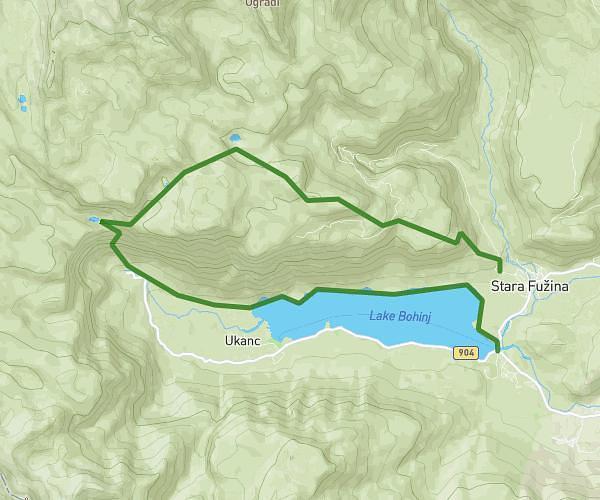
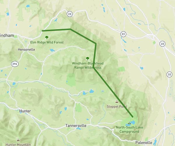
This hiking trail covers 10.09mi starting from . The hike does not return to the trailhead and ends near . This hike is rated as strenuous, plan for about 3h14m to complete it. The route has an elevation gain of 2365ft and an elevation loss of 4117ft.
BLATO-PL. JEZERO-ČRNOJEZERO-BOHINJ
Route details
3.11mph
Speed
1465 kcal
Calories burned
12.2%
Avg grade
Point to point
Route type
1722ft
Min altitude
5371ft
Max altitude
Steep climb
Route profile
2365ft
Elevation gain
4117ft
Elevation loss
1722ft
Min altitude
5371ft
Max altitude
How to get there
Trailhead:
GPS coordinates of the trailhead: 46.30697, 13.8536 / 46°18'25'' N, 13°51'12'' E