This hiking trail covers 16.343mi starting from Windham, New York. The hike does not return to the trailhead and ends near Loop 4, Haines Falls, New York 12436, United States. This hike is rated as strenuous, plan for about 13h37m to complete it. The route has an elevation gain of 5066ft and an elevation loss of 4600ft.
Escarpment Day 1
Route details
1.2mph
Speed
6284 kcal
Calories burned
11.2%
Avg grade
Point to point
Route type
1759ft
Min altitude
3907ft
Max altitude
Steep climb
Route profile
5066ft
Elevation gain
4600ft
Elevation loss
1759ft
Min altitude
3907ft
Max altitude
How to get there
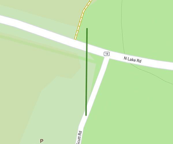
Trailhead: New York Highway 23, Windham, New York 12496, United States
GPS coordinates of the trailhead: 42.312888, -74.189792 / 42°18'46'' N, 74°11'23'' W