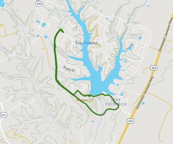
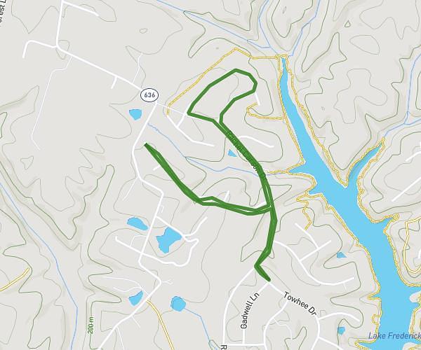
This walking route covers 3.941mi starting from Lake Frederick, Virginia. The walk is a loop trail and returns to the trailhead. This walk is rated as moderate, plan for about 1h35m to complete it. The route has an elevation gain of 335ft and an elevation loss of 335ft.
4 mile path
Route details
24:05/mi
Pace
388 kcal
Calories burned
Loop trail
Route type
568ft
Min altitude
719ft
Max altitude
Route profile
335ft
Elevation gain
335ft
Elevation loss
568ft
Min altitude
719ft
Max altitude
How to get there
Trailhead: 105 Towhee Drive, Lake Frederick, Virginia 22630, United States
GPS coordinates of the trailhead: 39.0539, -78.16623 / 39°3'14'' N, 78°9'58'' W