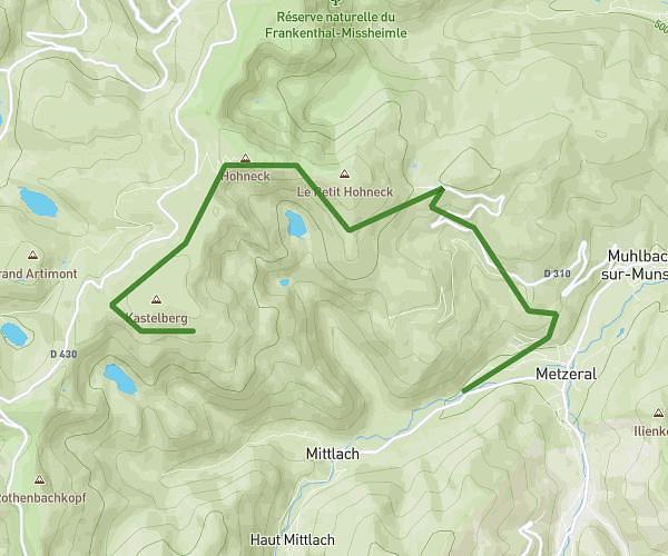
This hiking trail covers 7.501mi starting from Le Valtin, Le Bonhomme, Vosges, Haut-Rhin. The hike does not return to the trailhead and ends near 3 Route Du Linge, 68140 Hohrod, France. This hike is rated as strenuous, plan for about 4h1m to complete it. The route has an elevation gain of 1106ft and an elevation loss of 2631ft.
Randovosges 2026 Etape2
Route details
1.86mph
Speed
1769 kcal
Calories burned
9.4%
Avg grade
Point to point
Route type
2224ft
Min altitude
3760ft
Max altitude
Steep climb
Route profile
1106ft
Elevation gain
2631ft
Elevation loss
2224ft
Min altitude
3760ft
Max altitude
How to get there
Trailhead: Chemin Des Immerlins, 68370 Le Bonhomme, France
GPS coordinates of the trailhead: 48.136279, 7.08857 / 48°8'10'' N, 7°5'18'' E