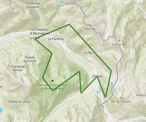
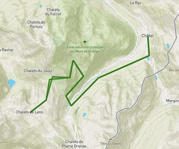
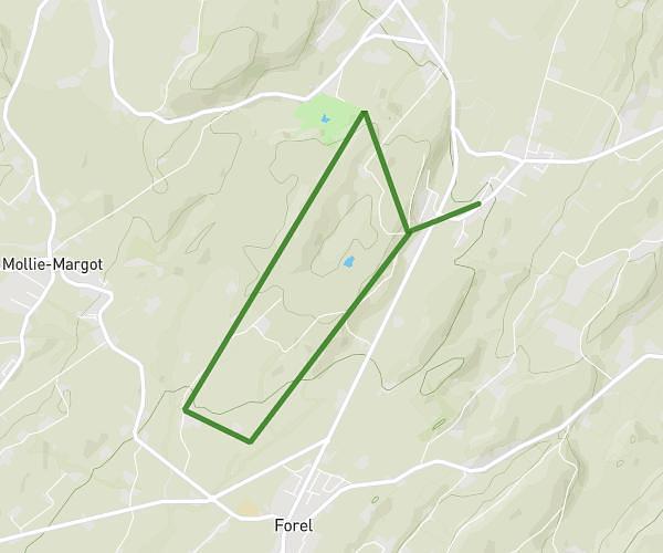
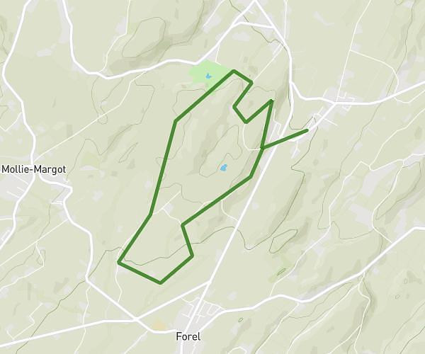
This running route covers 11.39mi starting from Vevey, Vaud. The run does not return to the trailhead and ends near Chemin Des Bataillères 2, 1897 Bouveret, Switzerland. This run is rated as strenuous, expect about 2h2m to complete it. The route has an elevation gain of 997ft and an elevation loss of 1037ft.
Sortie longue 18km
Route details
5.59mph
Speed
1397 kcal
Calories burned
Point to point
Route type
1214ft
Min altitude
1283ft
Max altitude
Route profile
997ft
Elevation gain
1037ft
Elevation loss
1214ft
Min altitude
1283ft
Max altitude
How to get there
Trailhead: Rond-Point De La Gare, 1800 Vevey, Switzerland
GPS coordinates of the trailhead: 46.462838, 6.84208 / 46°27'46'' N, 6°50'31'' E