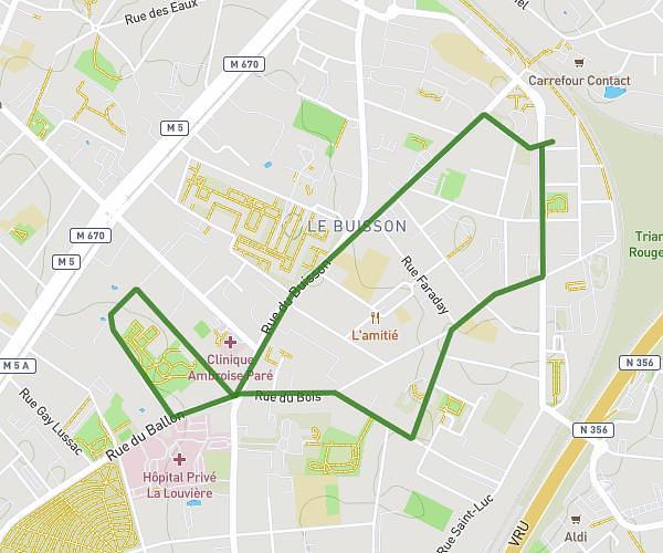
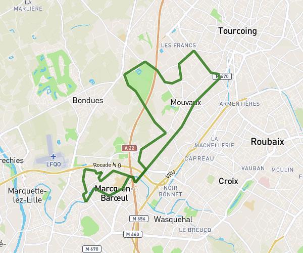
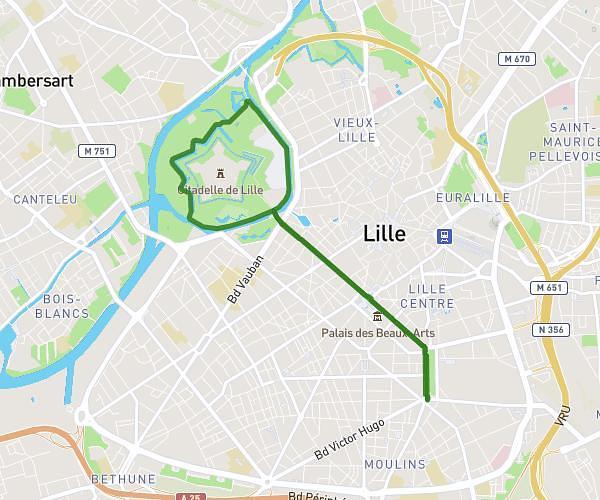
This running route covers 3.676mi starting from Spiere-Helkijn, West Flanders. The run is a loop trail and returns to the trailhead. This run is rated as easy, expect about 39m26s to complete it. The route has an elevation gain of 108ft and an elevation loss of 112ft.
Boucle chateau
Route details
5.59mph
Speed
451 kcal
Calories burned
Loop trail
Route type
33ft
Min altitude
52ft
Max altitude
Route profile
108ft
Elevation gain
112ft
Elevation loss
33ft
Min altitude
52ft
Max altitude
How to get there
Trailhead: Lefebvrelaan - Avenue Jean Lefebvre 7, 8587 Spiere-Helkijn, West Flanders, Belgium
GPS coordinates of the trailhead: 50.721417, 3.348607 / 50°43'17'' N, 3°20'54'' E