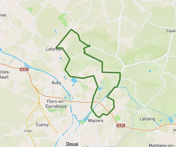
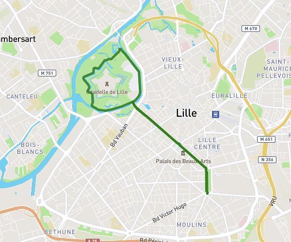
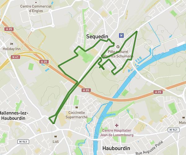
This running route covers 12.593mi starting from Marcq-en-Barœul, Nord. The run is a loop trail and returns to the trailhead. This run is rated as strenuous, expect about 2h15m to complete it. The route has an elevation gain of 728ft and an elevation loss of 725ft.
20km
Route details
5.6mph
Speed
1544 kcal
Calories burned
Loop trail
Route type
56ft
Min altitude
194ft
Max altitude
Route profile
728ft
Elevation gain
725ft
Elevation loss
56ft
Min altitude
194ft
Max altitude
How to get there
Trailhead: 6 Allée Des Ormes, 59700 Marcq-en-Barœul, France
GPS coordinates of the trailhead: 50.681151, 3.097287 / 50°40'52'' N, 3°5'50'' E