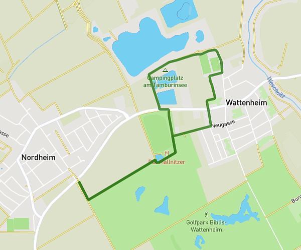
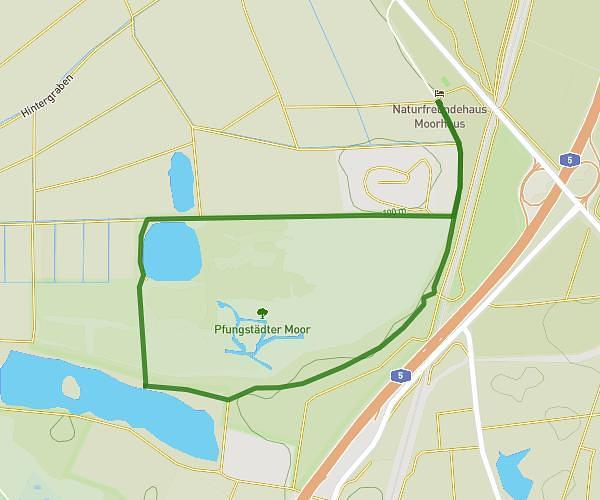
This walking route covers 4.025mi starting from Biblis, Hesse. The walk is a loop trail and returns to the trailhead. This walk is rated as moderate, plan for about 1h26m to complete it. The route has an elevation gain of 187ft and an elevation loss of 187ft.
Easy 10k step
Route details
21:22/mi
Pace
351 kcal
Calories burned
Loop trail
Route type
282ft
Min altitude
322ft
Max altitude
Route profile
187ft
Elevation gain
187ft
Elevation loss
282ft
Min altitude
322ft
Max altitude
How to get there
Trailhead: Rheinstraße 37, 68647 Biblis, Germany
GPS coordinates of the trailhead: 49.684612, 8.40624 / 49°41'4'' N, 8°24'22'' E