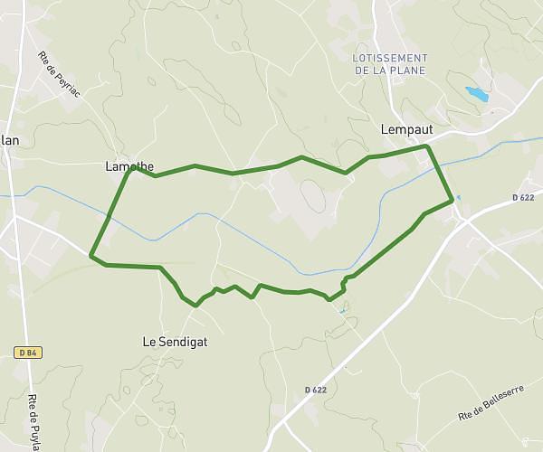
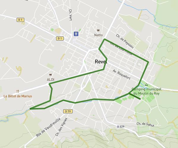
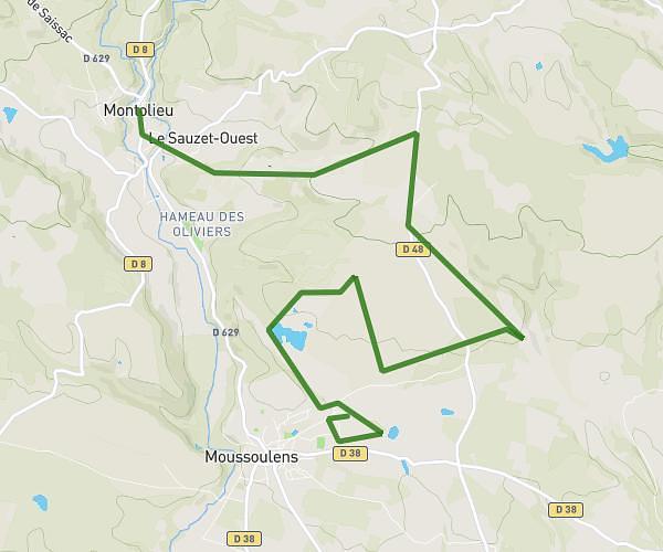
This running route covers 6.733mi starting from Les Cammazes, Aude. The run is a loop trail and returns to the trailhead. This run is rated as moderate, expect about 1h12m to complete it. The route has an elevation gain of 922ft and an elevation loss of 909ft.
Lac Cammaze
Route details
5.61mph
Speed
823 kcal
Calories burned
Loop trail
Route type
1906ft
Min altitude
2195ft
Max altitude
Route profile
922ft
Elevation gain
909ft
Elevation loss
1906ft
Min altitude
2195ft
Max altitude
How to get there
Trailhead: D 629, 81540 Les Cammazes, France
GPS coordinates of the trailhead: 43.39649, 2.09598 / 43°23'47'' N, 2°5'45'' E