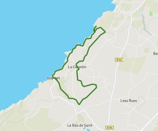
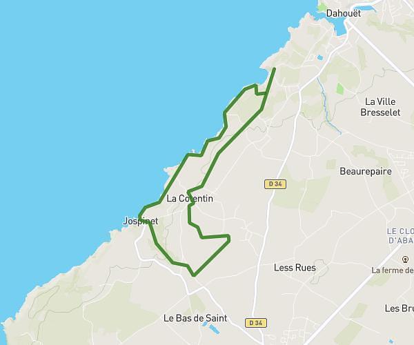
This running route covers 5.184mi starting from Plémy, Côtes-d'Armor. The run is a loop trail and returns to the trailhead. This run is rated as moderate, expect about 56m9s to complete it. The route has an elevation gain of 617ft and an elevation loss of 620ft.
Moncontour 2
Route details
5.54mph
Speed
642 kcal
Calories burned
Loop trail
Route type
413ft
Min altitude
715ft
Max altitude
Route profile
617ft
Elevation gain
620ft
Elevation loss
413ft
Min altitude
715ft
Max altitude
How to get there
Trailhead: Route Du Champ De Foire, 22150 Plémy, France
GPS coordinates of the trailhead: 48.355069, -2.642134 / 48°21'18'' N, 2°38'31'' W