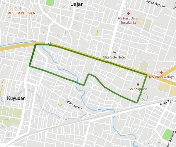
This walking route covers 1.134mi starting from Sukoharjo, Central Java. The walk is a loop trail and returns to the trailhead. This walk is rated as easy, plan for about 41m to complete it. The route has an elevation gain of 108ft and an elevation loss of 108ft.
morning walk
Route details
36:10/mi
Pace
167 kcal
Calories burned
Loop trail
Route type
325ft
Min altitude
358ft
Max altitude
Route profile
108ft
Elevation gain
108ft
Elevation loss
325ft
Min altitude
358ft
Max altitude
How to get there
Trailhead: Makamhaji, 57161, Kartasura, Sukoharjo, Central Java, Indonesia
GPS coordinates of the trailhead: -7.557542, 110.779156 / 7°33'27'' S, 110°46'44'' E