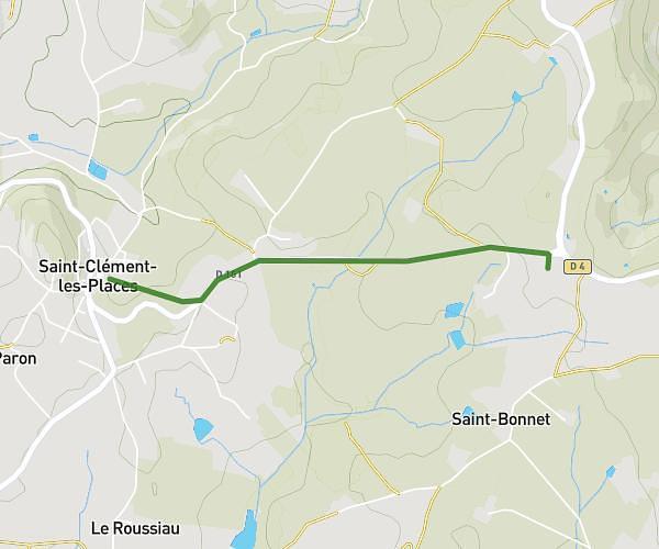
This cycling route covers 18.094mi starting from Brullioles, Rhône. The ride does not return to the trailhead and ends near Route De Montrottier, 69690 Brullioles, France. This route is rated as hard, plan for about 1h49m to complete it. The route has an elevation gain of 915ft and an elevation loss of 994ft.
St Clément Longessaigne
Route details
966 kcal
Calories burned
2.0%
Avg grade
Point to point
Route type
1693ft
Min altitude
2339ft
Max altitude
Route profile
915ft
Elevation gain
994ft
Elevation loss
1693ft
Min altitude
2339ft
Max altitude
How to get there
Trailhead: 85 Chemin De La Grand Croix, 69690 Brullioles, France
GPS coordinates of the trailhead: 45.76161, 4.492866 / 45°45'41'' N, 4°29'34'' E