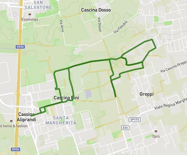
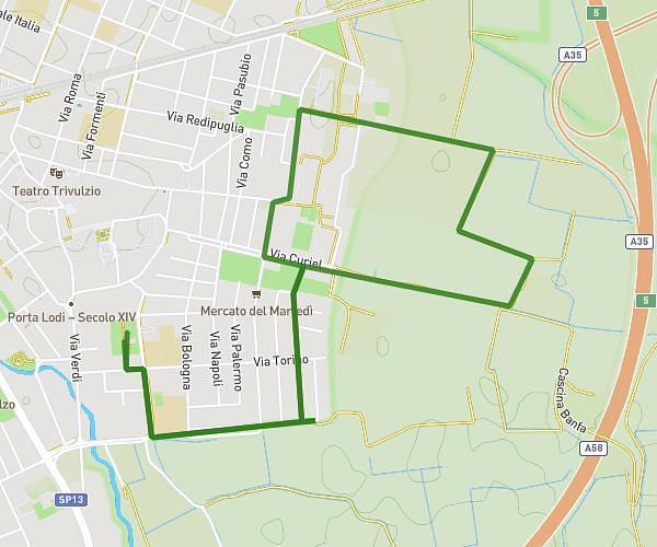
This running route covers 7.576mi starting from Bussero, Milan. The run is a loop trail and returns to the trailhead. This run is rated as hard, expect about 1h21m to complete it. The route has an elevation gain of 341ft and an elevation loss of 341ft.
MORE RUN 12KM
Route details
5.61mph
Speed
926 kcal
Calories burned
Loop trail
Route type
430ft
Min altitude
492ft
Max altitude
Route profile
341ft
Elevation gain
341ft
Elevation loss
430ft
Min altitude
492ft
Max altitude
How to get there
Trailhead: Via Carabinieri Caduti, 20041 Bussero Milan, Italy
GPS coordinates of the trailhead: 45.530972, 9.376974 / 45°31'51'' N, 9°22'37'' E