MapPlanner
27.154mi
Distance
2h44m
Duration
9.94mph
Speed
+659ft
Elevation gain
-659ft
Elevation loss
Hard
Level

Crash TRAINING 1

Route details

1444 kcal
Calories burned
0.9%
Avg grade
Loop trail
Route type
-3ft
Min altitude
105ft
Max altitude

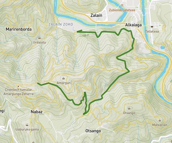
This cycling route covers 27.154mi starting from Irun, Gipuzkoa. The ride is a loop trail and returns to the trailhead. This route is rated as hard, plan for about 2h44m to complete it. The route has an elevation gain of 659ft and an elevation loss of 659ft.

Route profile

659ft
Elevation gain
659ft
Elevation loss
-3ft
Min altitude
105ft
Max altitude

How to get there

Trailhead: Pio Baroja Kalea 901, 20305 Irun, Gipuzkoa, Spain

GPS coordinates of the trailhead: 43.33982, -1.7761 / 43°20'23'' N, 1°46'33'' W

Caution: May Cross Private Property

This route may pass through or near private property. Always respect posted signs, obtain permission where required, and follow local trespassing laws. MapPlanner does not guarantee public access along any route.

Safety Notice

Trail and road conditions may change without notice due to weather, construction, or other factors. Always verify current conditions before heading out. You are responsible for your own safety — follow local signage, obey traffic laws, and use your best judgment on the trail.