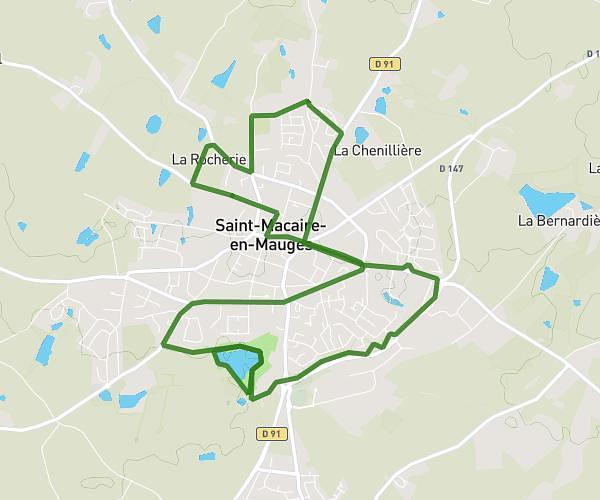
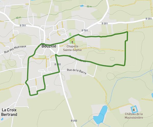
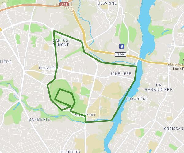
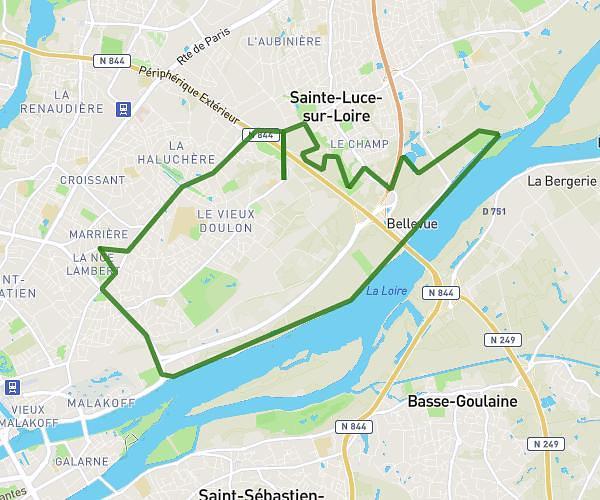
This running route covers 11.625mi starting from Orée d'Anjou, Maine-et-Loire. The run is a loop trail and returns to the trailhead. This run is rated as strenuous, expect about 24m56s to complete it. The route has an elevation gain of 82ft and an elevation loss of 85ft.
patrimoine
Route details
27.96mph
Speed
285 kcal
Calories burned
Loop trail
Route type
240ft
Min altitude
325ft
Max altitude
Route profile
82ft
Elevation gain
85ft
Elevation loss
240ft
Min altitude
325ft
Max altitude
How to get there
Trailhead: 334 Rue De Venise, 49270 Orée d'Anjou, France
GPS coordinates of the trailhead: 47.25272, -1.1838 / 47°15'9'' N, 1°11'1'' W