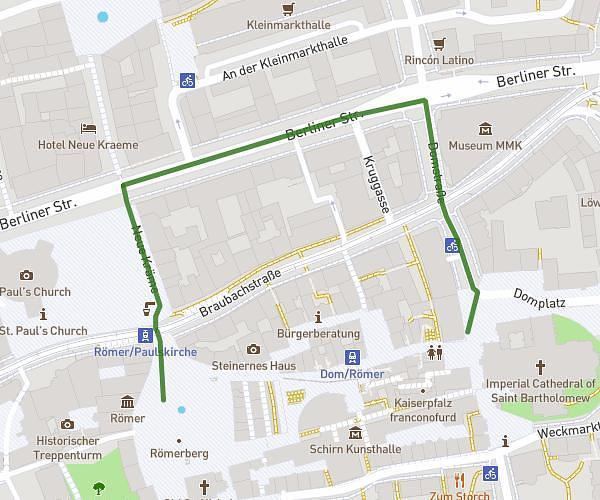
This walking route covers 0.062mi starting from Frankfurt am Main, Hesse. The walk is a loop trail and returns to the trailhead. This walk is rated as easy, plan for about 3m to complete it. The route has an elevation gain of 0ft and an elevation loss of 16ft.
Römer - Ev. Akademie
Route details
48:17/mi
Pace
12 kcal
Calories burned
Loop trail
Route type
331ft
Min altitude
348ft
Max altitude
Route profile
0ft
Elevation gain
16ft
Elevation loss
331ft
Min altitude
348ft
Max altitude
How to get there
Trailhead: Römerberg 21, 60311 Frankfurt am Main, Germany
GPS coordinates of the trailhead: 50.110517, 8.681974 / 50°6'37'' N, 8°40'55'' E