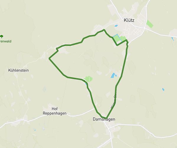
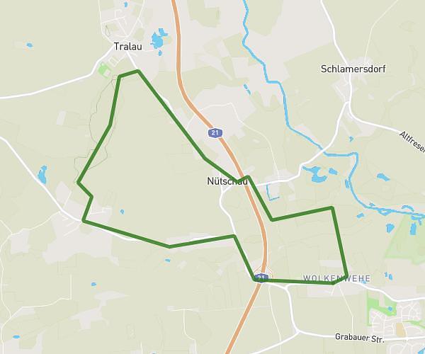
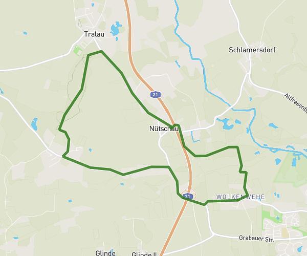
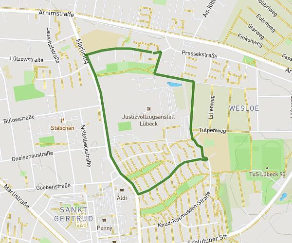
This running route covers 3.144mi starting from Lübeck, Schleswig-Holstein. The run is a loop trail and returns to the trailhead. This run is rated as easy, expect about 34m to complete it. The route has an elevation gain of 118ft and an elevation loss of 125ft.
Anja
Route details
5.55mph
Speed
389 kcal
Calories burned
Loop trail
Route type
20ft
Min altitude
72ft
Max altitude
Route profile
118ft
Elevation gain
125ft
Elevation loss
20ft
Min altitude
72ft
Max altitude
How to get there
Trailhead: Stellbrinkstraße 10a, 23566 Lübeck, Germany
GPS coordinates of the trailhead: 53.87262, 10.722695 / 53°52'21'' N, 10°43'21'' E