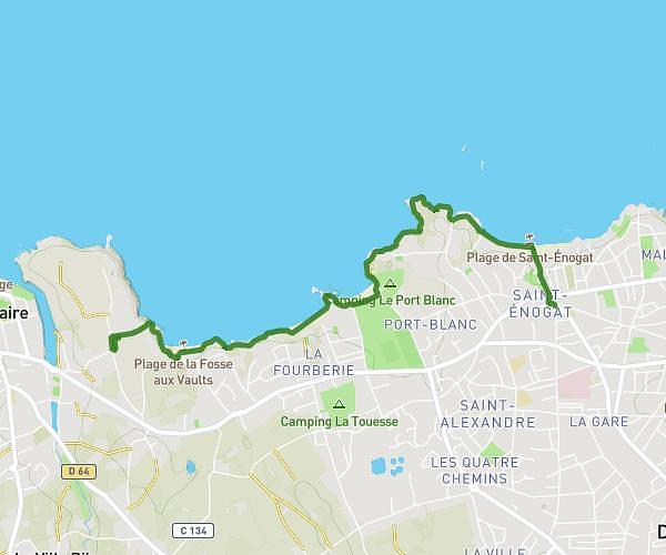
This walking route covers 2.217mi starting from Acigné, Ille-et-Vilaine. The walk does not return to the trailhead and ends near Avenue Abbé Barbedet, 35690 Acigné. This walk is rated as easy, plan for about 48m to complete it. The route has an elevation gain of 115ft and an elevation loss of 157ft.
marche exploratoire
Route details
21:39/mi
Pace
196 kcal
Calories burned
Point to point
Route type
118ft
Min altitude
194ft
Max altitude
Route profile
115ft
Elevation gain
157ft
Elevation loss
118ft
Min altitude
194ft
Max altitude
How to get there
Trailhead: Rue Germaine Tillion, 35690 Acigné
GPS coordinates of the trailhead: 48.14116, -1.52866 / 48°8'28'' N, 1°31'43'' W