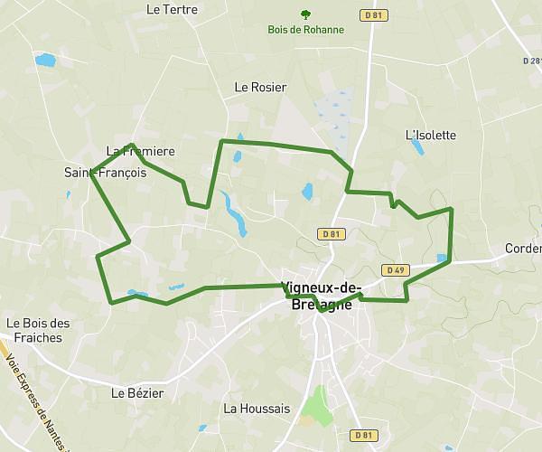
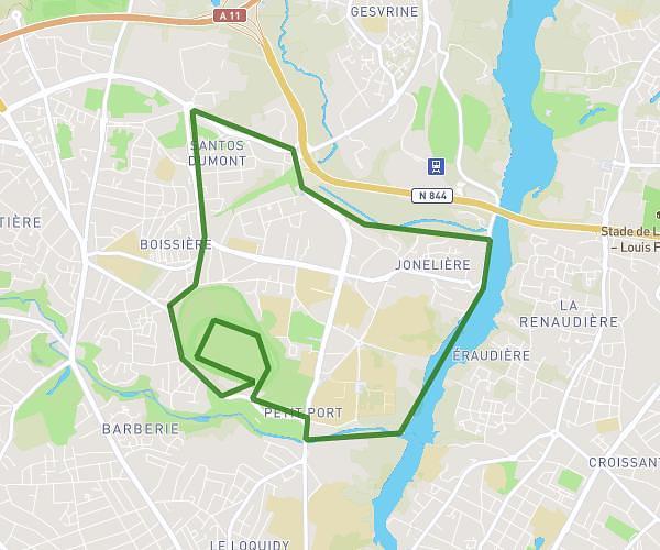
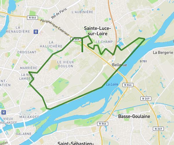
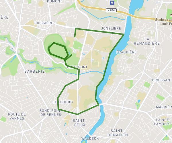
This running route covers 4.488mi starting from Sautron, Loire-Atlantique. The run is a loop trail and returns to the trailhead. This run is rated as easy, expect about 43m to complete it. The route has an elevation gain of 69ft and an elevation loss of 59ft.
Color run
Route details
6.26mph
Speed
492 kcal
Calories burned
Loop trail
Route type
154ft
Min altitude
213ft
Max altitude
Route profile
69ft
Elevation gain
59ft
Elevation loss
154ft
Min altitude
213ft
Max altitude
How to get there
Trailhead: Rue De La Mairie, 44880 Sautron
GPS coordinates of the trailhead: 47.26411, -1.67299 / 47°15'50'' N, 1°40'22'' W