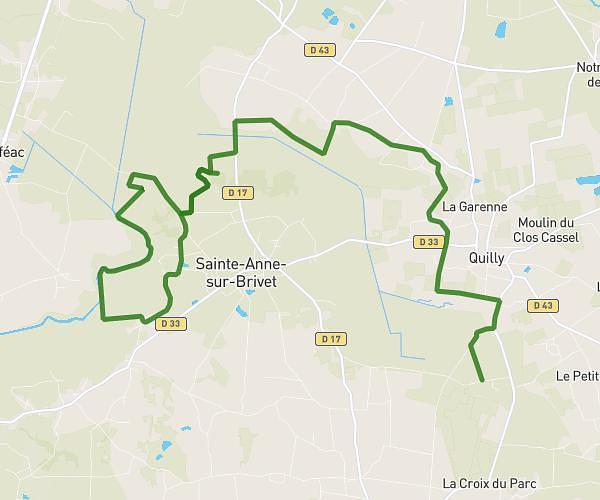
This running route covers 4.061mi starting from Sautron, Loire-Atlantique. The run is a loop trail and returns to the trailhead. This run is rated as easy, expect about 1h to complete it. The route has an elevation gain of 328ft and an elevation loss of 331ft.
Color run 2025 v1
Route details
4.06mph
Speed
686 kcal
Calories burned
Loop trail
Route type
121ft
Min altitude
226ft
Max altitude
Route profile
328ft
Elevation gain
331ft
Elevation loss
121ft
Min altitude
226ft
Max altitude
How to get there
Trailhead: Rue De La Mairie, 44880 Sautron
GPS coordinates of the trailhead: 47.26377, -1.67288 / 47°15'49'' N, 1°40'22'' W