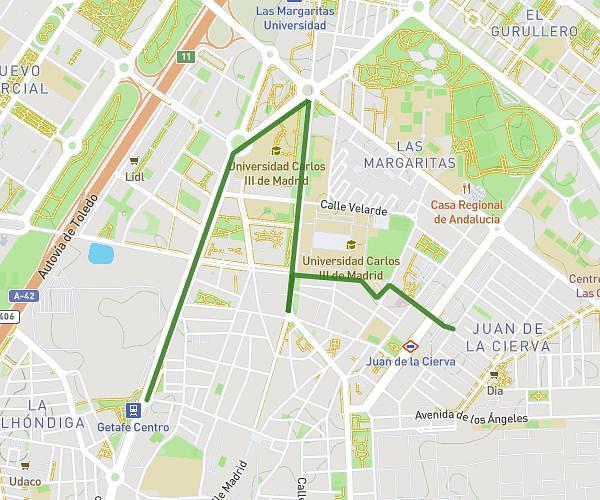
This walking route covers 6.137mi starting from Alcobendas, Madrid. The walk does not return to the trailhead and ends near Calle De Pablo Picasso 30, 28100 Alcobendas, Madrid, Spain. This walk is rated as hard, plan for about 2h11m to complete it. The route has an elevation gain of 479ft and an elevation loss of 564ft.
Desde PIC.A
Route details
21:30/mi
Pace
539 kcal
Calories burned
Point to point
Route type
2093ft
Min altitude
2365ft
Max altitude
Route profile
479ft
Elevation gain
564ft
Elevation loss
2093ft
Min altitude
2365ft
Max altitude
How to get there
Trailhead: Avenida De La Magia 4, 28100 Alcobendas, Madrid, Spain
GPS coordinates of the trailhead: 40.551439, -3.657147 / 40°33'5'' N, 3°39'25'' W