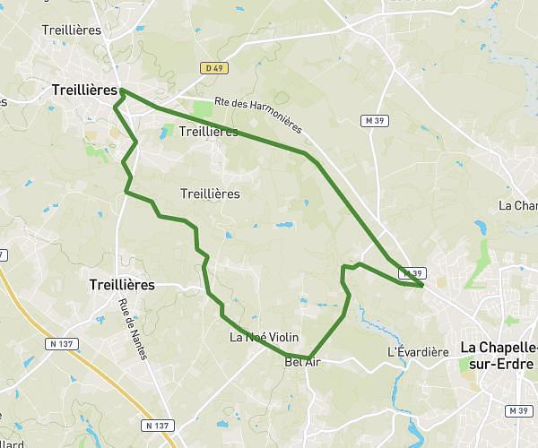
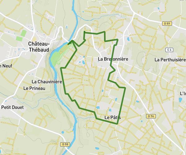
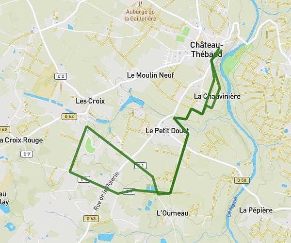
Explore this running route of 4.355mi starting from Le Cellier, Loire-Atlantique. The run is a loop and returns to the starting point. This run has no defined difficulty level, expect about 34m59s to complete it.
le cellier
Route details
How to get there
Route starting point: 1 Route De La Cale De Clermont, 44850 Le Cellier, France
GPS coordinates of the starting point: 47.326486, -1.329938 / 47°19'35'' N, 1°19'47'' W