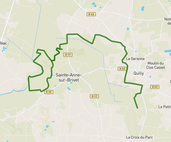
This running route covers 8.034mi starting from Treillières, Loire-Atlantique. The run is a loop trail and returns to the trailhead. This run is rated as hard, expect about 50m26s to complete it. The route has an elevation gain of 118ft and an elevation loss of 102ft.
Boucle 13
Route details
9.56mph
Speed
577 kcal
Calories burned
Loop trail
Route type
102ft
Min altitude
187ft
Max altitude
Route profile
118ft
Elevation gain
102ft
Elevation loss
102ft
Min altitude
187ft
Max altitude
How to get there
Trailhead: 19 Rue De Rennes, 44119 Treillières, France
GPS coordinates of the trailhead: 47.330948, -1.61762 / 47°19'51'' N, 1°37'3'' W