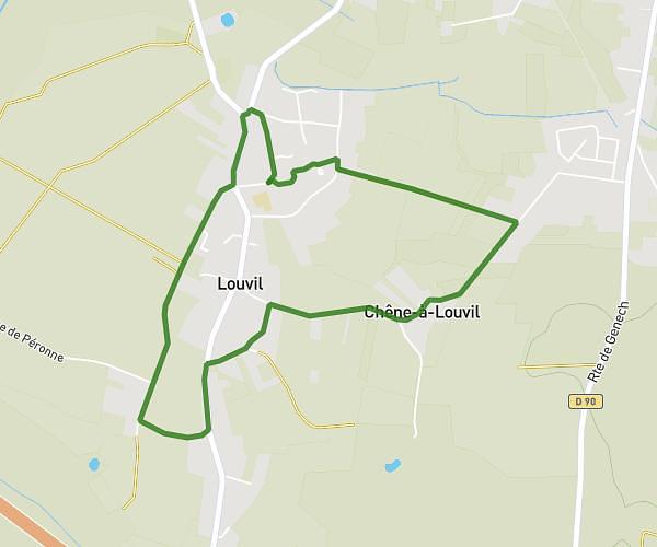
This running route covers 9.321mi starting from Seclin, Nord. The run does not return to the trailhead and ends near 9005 Allée Des Marronniers, 59113 Seclin, France. This run is rated as hard, expect about 1h25m to complete it. The route has an elevation gain of 135ft and an elevation loss of 141ft.
15km seclin
Route details
6.58mph
Speed
972 kcal
Calories burned
Point to point
Route type
62ft
Min altitude
115ft
Max altitude
Route profile
135ft
Elevation gain
141ft
Elevation loss
62ft
Min altitude
115ft
Max altitude
How to get there
Trailhead: 24 Rue De Picardie, 59113 Seclin, France
GPS coordinates of the trailhead: 50.54064, 3.01437 / 50°32'26'' N, 3°0'51'' E